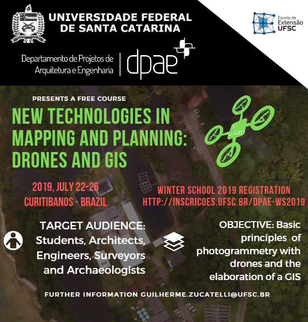
| DATE: 22/07/2019 – 26/07/2019
TIME: from 09.00 to 18:00
LOCAL: CURITIBANOS, SC
REGISTRATION: http://inscricoes.ufsc.br/dpae-ws2019 |
Day 1: Meeting Point – Opening Works
- Meeting point of the participants at UFSC / Greetings
- Introducing the participants and their countries
- Basic principles of drone flights
Day 2: Legislation and Survey
- Brazilian legislation on the use of drones / Regulatory agencies
- Discussion on the legislation of other countries / Comparative report
Day 3: Survey Activities and Cultural Visit
- Photogrammetric flight execution – on site
Day 4: Hackathon Day for Photogrammetry
- Processing of all information obtained the day before to create the orthophoto mosaic, the digital surface model and the 3D model of the campus.
Day 5: Hackathon Day for GIS and Closing Works
- Principles of Geographic Information Systems. Using GIS in UFSC planning.
- Closing works and certificate delivery at UFSC Events Center
|


